
By Dr. C S Murthy
Former Director, Mahalanobis National Crop Forecast Centre, DAFW, Ministry of Agriculture and Farmers Welfare, New Delhi; Ex Group Director, Agricultural Sciences and Applications, National Remote Sensing Centre (NRSC), ISRO
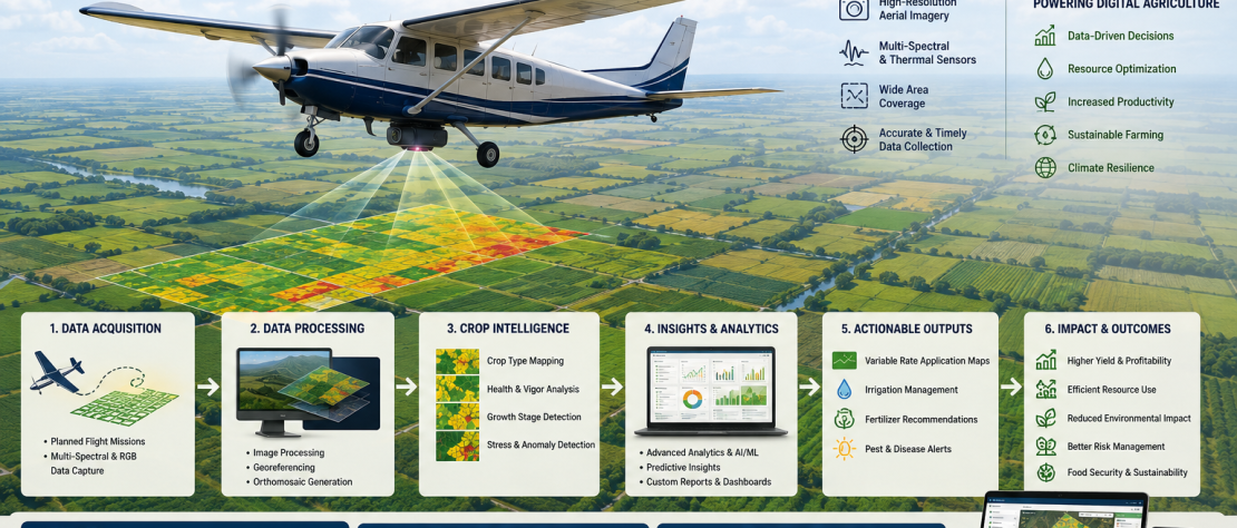
Crop mapping is one of the primary uses of satellite remote sensing technology and is linked to various digital solutions in the agriculture sector. Crop maps are the unique outcomes of this technology that no traditional survey method can provide. Satellite technology thus enables an independent source of crop acreage estimates which can be harmonized with other sources of estimates to strengthen crop surveys in the country.
Furthermore, timely and accurate satellite-derived crop maps have several downstream uses, including crop planning, credit, insurance, crop diversification, farm advisories, implementation of farmer-welfare programs and more, benefitting everyone in the agriculture value chain — from farmers to policymakers. As a result, satellite technology plays a critical role in the ongoing digital transformation of the agriculture sector.
Although satellite-based crop mapping has been in practice in the country for over thirty years, the crop acreage estimates are still not fully integrated with the existing crop estimation system, nor are the crop maps used for downstream digital applications. Persistent gaps in mapping techniques, a lack of innovations, and a lack of confidence and seriousness among end-users are some of the elements contributing to this conflicting situation.
A history of unrealised potential
Satellite-based crop mapping and acreage estimation were demonstrated and upscaled by ISRO in the 1990s and remained with ISRO till 2011, through the Crop Acreage and Production Estimation (CAPE) initiative and later through the Forecasting Agricultural output using Space, Agro-meteorology and Land based observations (FASAL) project for the then Department of Agriculture and Cooperation (DAC), now the Department of Agriculture and Farmers Welfare (DAFW).
The Mahalanobis National Crop Forecast Centre (MNCFC) was set up as an attached office in DAC in 2012, with one of its objectives being to institutionalize satellite-based crop inventory in the country and enhance the end-use of outcomes. Since then, MNCFC has implemented ISRO’s technology to map crops using satellite data in collaboration with state remote sensing centres availing ISRO’s assistance.
However, the satellite-based crop mapping system continues to be plagued by a lack of standard methodology and quality norms, ambiguity in accuracy numbers, and limited coverage of even major crops — despite being in place for a long time under the cooperation and supervision of a premier agency like ISRO.
Crop coverage has barely expanded
The crops covered by satellite mapping have remained largely the same for many years — paddy (kharif and rabi), cotton, red gram, wheat, rapeseed and mustard, rabi jowar, rabi pulses, bengal gram, jute and sugarcane — notwithstanding developments in satellite technology that now offer far more granular images in terms of spectral, spatial and temporal parameters. Important crops like soybean, groundnut, lentils, summer pulses and many more are yet to be covered.
In the case of sugarcane, decision makers require disaggregated mapping of one-year crops (eksali), one-and-a-half-year crops (adsali), ratoon crops and main crops. This requirement, too, is yet to be fulfilled.
The missing data repository
Another flaw in the system is the absence of any repository of crop layers or ground truth data accumulated over the years. The failure to construct a data repository from the start of the CAPE/FASAL projects in the nineties has limited the end-use of their outcomes and restricted the scope for innovations and improvements.
In 2023 and 2024, MNCFC made significant efforts, with encouragement and support from DAFW, to build legacy data for at least the past five years for the major 3-4 crops. The aim was to create harmonized crop data layers and a curated ground truth database over several years, and to make them available to various agencies via DAFW’s digital platforms — allowing the data to be used by interested agencies to innovate crop mapping. However, these data libraries are yet to see the light of day.
By contrast, the United States Department of Agriculture, under the National Agricultural Statistics Service, started a satellite-based crop mapping programme in 1997 and has improvised the methodology from time to time. Since 2008, cropland data layers for several crops have been made available in the public domain. The lack of such a database in India has limited the development of novel crop mapping methods.
Time for an overhaul
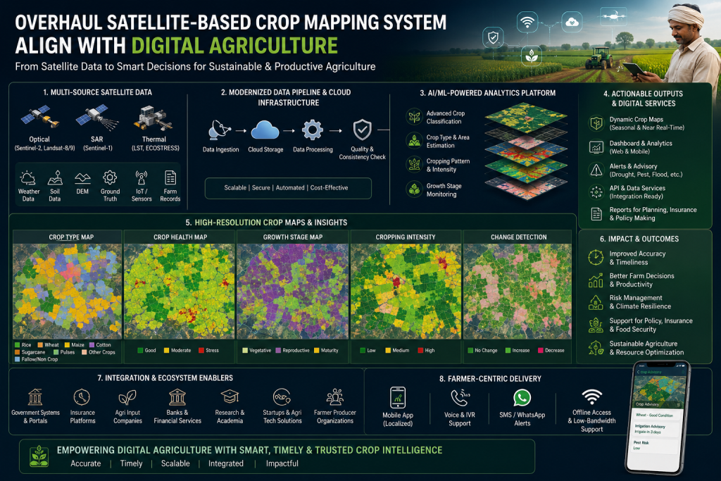
It is time to overhaul the country’s satellite-based crop mapping framework to address these chronic shortcomings and meet user needs in terms of granularity, accuracy and timeliness of estimates and maps. As satellite technology advances rapidly with a diverse range of spectral, geographical and temporal resolutions, strengthening the crop mapping system and expanding it to cover a greater number of crops is not an insurmountable challenge.
Thus, despite rapid developments in satellite technology offering new datasets and data sciences offering advanced techniques of pattern recognition, the satellite-based crop mapping system in the country has made little progress over the years. As a result, crop mapping — a high-potential and realisable application of satellite technology — remains underutilised and under-explored.
A priority for ISRO
As ISRO has long been involved with DAFW in ensuring the effective end-use of satellite technology for crop inventory, developing a comprehensive satellite-based crop mapping system for long-term use by DAFW should now be a key priority for ISRO. Such an initiative stands relevant to ISRO’s mandate of maximizing the application of space technology for societal benefit.
ISRO hosted a national meet in August 2025 on the theme “Leveraging Space Technology and Applications for Viksit Bharat 2047,” to discuss the needs and actions for using space technologies to address national priorities in agriculture, environment, infrastructure, health, education, communication, disaster management and regional development. Several ministers, policymakers, industry leaders and scientists participated. A similar national meet was organized by ISRO in 2015, on the theme “Promoting Space Technology-Based Tools and Applications in Governance & Development.” However, the satellite-based crop mapping system has reaped little advantage from either of these major events.
It is therefore important that all concerned experts at ISRO work in synergy with the Agriculture Ministry and state agriculture departments to standardize and upscale the crop mapping system — the most fundamental application of remote sensing technology in agriculture.
Bringing in wider participation
It is also necessary to ensure larger participation by domestic private-sector technology agencies and international crop research centres operating in the country, as these organisations have previously demonstrated their capabilities in data analytics employing large volumes of satellite data for thematic mapping, including crop mapping. Crop mapping with satellite images involves both science and art, and requires systematic and collaborative effort by different agencies.
The way forward for DAFW
The development of a strong crop-mapping system — a low-hanging fruit in the field of remote sensing applications — would undoubtedly result from more diligent and concerted efforts by DAFW. Some of the specific actions that DAFW should take include:
- Clearly defining requirements
- Getting realisation plans prepared
- Providing objective and candid feedback on results to implementing agencies
- Initiating parallel efforts for seamless integration of crop maps with the digital platforms of different schemes
- Allowing innovation through liberal data-sharing protocols
It is time to modernize the country’s crop estimation surveys and the implementation of farmer welfare schemes by ingesting the digital information offered by satellite datasets. If the rebuilding of satellite technology utilisation for crop mapping is not prioritised, it will cause major setbacks to our aspirations of digital agriculture — besides undermining the primary purpose of space technology for societal benefit, which the country cannot afford.
(Views expressed are personal.)
Dr. C. S. Murthy
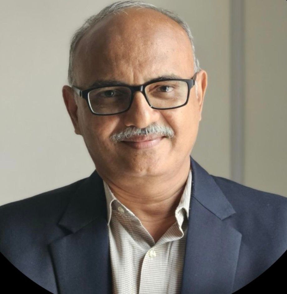
Dr. C. S. Murthy is one of India’s foremost experts in geospatial technology applications in agriculture, with over 34 years of distinguished service in the Government of India.
He served as Director of the Mahalanobis National Crop Forecast Centre (MNCFC), Ministry of Agriculture & Farmers Welfare, and earlier as Group Director, Agricultural Sciences & Applications, NRSC-ISRO.
Dr. Murthy has played a key role in landmark national initiatives including:
- National Crop Yield Forecasting System
- YES-TECH under PMFBY
- MahaAgriTech
- Smart Sampling Technique
- Drought Monitoring Systems
- Parametric Crop Insurance Models